The Tabular Hills are a range of flat topped Corallian limestone hills on the southern boundary of the North York Moors running East to West from Scarborough to the Vale of Pickering. The range is best viewed from Saltergate and Levisham Moor where their flat tops can be truly appreciated. There is a long distance walk of 50 miles titled The Tabular hills walk which starts at Scalby Mills near Scarborough and ends at the attractive market town of Helmsley.
Parking at Scalby Mills on Friday 18th of August I set off to walk the first section of the route. The first part is 21 miles to Levisham but having already walked a 7 mile section I didn’t quite have that far to travel. Climbing steeply up the cliff I had a superb view of a brooding Scarborough castle standing proudly above a glittering sea.
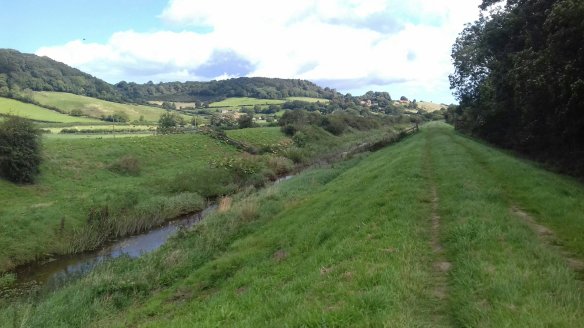
Soon I was heading west through wheat fields before crossing the busy A165 and passing caravan sites before heading to the village of Scalby. The Tabular Hills walk can be done in a variety of ways, as a long distance walk over 3 or 4 days, as a warm up for the Cleveland Way which begins in Helmsley or as I was doing it picking off sections as day walks. Crossing the A171 I came to the Sea Cut and took shelter as a brief shower of rain came in on the strong winds. The River Derwent rises on Fylingdales Moor and heads towards the North Sea but 4 miles from the coast it turns west and heads far inland before turning east again and flowing into the River Humber and finally the North Sea. The sea cut was dug in the 18th century to divert floodwater into Scalby Beck and to power the mills further downstream.
I followed this for 3 miles to Mowthorpe Bridge and then in, warm sunshine I trudged uphill towards what had been the Everley Country Hotel but was now a tea room promising excellent views. Unable these days to resist a tea room I went inside and was not disappointed. A feature of the Tabular Hills is that on the southern side the slope is gentle and are farmed whereas the northern sides are very steep, formed as they were by rushing meltwater from the last Ice Age. I crossed the River Derwent at Wrench Green and began to climb steeply in the hot sunshine through woodland until I reached a gravel track and Wykeham Forest. The forest prevented views until I came across a sign for a raptor viewpoint. Intrigued, I followed an increasingly boggy path for a quarter of a mile until the woodland cleared and I had a view over lovely Troutdale.
It was a good spot to polish off my lunch and to view my surroundings which included the high moors to the north and the glacial valleys and hills through which I was walking. The best example being the Forge Valley. I did not see any birds of prey but a cross bill landed close by me, no doubt interested in my black pudding scotch egg ! Continuing my walk, the smell of woodsmoke drifting through the damp and chilled woodland made it feel almost autumnal and I was glad to emerge,blinking into sunlight alongside fields filled with young pine trees. I don’t recall ever having been asked to wipe my feet before entering a field before but signs dotted around the plateau suggested that this was a requirement.
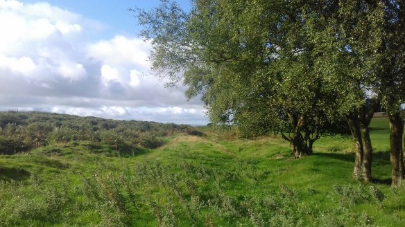
 Finally I reached the end of my days walk at Givendale Head Farm which also meant I had completed the first 21 miles of the Tabular Hills walk. This whole area abounds with Tumuli and boundary and defensive ditches such as these at Cockmoor.
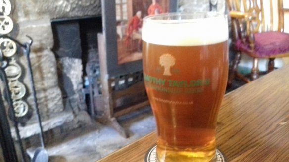
When this area was open country the views must have been tremendous but the woodland has taken that away. I enjoyed the walk but much of it is minor road walking or through forest but happily that part is now behind me. Much of the first day is very remote so I drove to Burniston and the Three Jolly Sailors. Timothy Taylors Landlord was in fine fettle which made this old sailor very happy.


